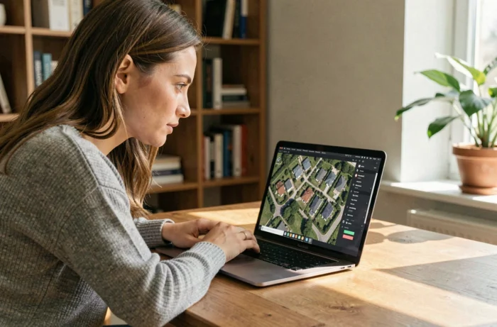
Seeing your house from space no longer requires technical skills or a paid subscription. Several free applications provide access to satellite images covering almost the entire globe, with varying levels of detail and freshness. The challenge is not finding a tool, but understanding what each one actually shows and what it does not.
Satellite viewer or raw data: a distinction that app stores overlook
The results from the Google Play Store and the App Store mix Street View applications, GPS navigation tools, and true satellite image viewers. Typing “satellite view house” often leads to apps that overlay Google Maps layers without providing a usable satellite image.
A viewer like Google Earth displays assembled and edited satellite photos to offer a coherent visual rendering. It allows you to zoom in on an address, rotate in 3D, and go back in time. However, Google Earth does not provide downloadable raw data. For those simply looking to identify their roof or observe the evolution of their neighborhood, this is largely sufficient. For technical use (surface measurement, vegetation analysis), one must turn to other sources.
Platforms like Copernicus Browser (Sentinel program of the European Space Agency) or USGS EarthExplorer (Landsat program) provide access to free satellite images with raw data, but their ground resolution remains too low to distinguish an individual house. They are more suited for environmental or agricultural monitoring than for the geographical curiosity of individuals. Knowing how to see your house by satellite therefore involves choosing the right tool for what you actually want to observe.
Google Earth vs. Zoom Earth: image freshness and limits of “real-time”
Google Earth remains the reference for visualizing an address in satellite view. The application works on browsers, Android, and iOS. The Pro version, once paid, is now free and allows access to image history, measuring distances, and exporting views.
The weak point concerns freshness. The images displayed by Google Earth date from a few months to several years depending on the areas. Major urban areas benefit from more frequent updates than rural areas. No consumer application offers real-time satellite view of your house. What Netatmo or other sites call “real-time” actually refers to recorded images, not a live video stream.
Zoom Earth offers a different approach. The interface combines recent satellite images with weather radar layers and interactive maps. For tracking weather phenomena or quickly visualizing a geographical area, Zoom Earth often provides more recent images than Google Earth in certain regions. However, the ground resolution remains lower for zooming in on a specific building.
Free mobile applications: what works and what is marketing hype
The Play Store is full of applications with names like “Live Earth Map,” “Satellite View,” or “GPS Satellite Maps.” The majority of them simply integrate Google Maps or OpenStreetMap tiles into an interface dressed up with advertisements. Their added value compared to the default Google Maps installed on most smartphones is almost nonexistent.
To identify tools worth installing, a few concrete criteria help sort through:
- Does the application use its own image sources, or does it just repackage Google Maps? If the mention “powered by Google” appears without additional functionality, it’s just a simple rebranding.
- Is offline navigation possible? Tools like Maps.me offer a true offline mode with satellite layer, useful in areas poorly covered by mobile networks.
- Is image history accessible? Google Earth Pro remains the only free public tool that allows you to go back in time on a specific address.
- Are privacy data transparent? Several “live satellite view” apps request excessive permissions (contacts, microphone) unrelated to their function.
NASA Worldview and Copernicus: free tools unknown to the general public

Beyond Google Earth, two public programs provide access to satellite imagery at no cost, with global coverage and daily updates for certain layers.
NASA Worldview displays data from the Terra, Aqua, and Suomi NPP satellites. The web interface allows visualization of large-scale phenomena (wildfires, air pollution, snow cover) with images updated daily. The resolution does not allow distinguishing a building, but the service is reliable and ad-free.
Copernicus Browser and the Sentinel program offer free access to multispectral images covering the entire globe. The Terrascope platform, supported by the Belgian agency VITO, facilitates the use of this data for European users. The main interest lies in temporal monitoring: comparing the state of a plot of land or neighborhood over several months or years, with calibrated scientific data.
These tools do not replace Google Earth for individuals who simply want to “see their house from above.” They meet different needs, but their free availability and institutional reliability make them useful complements for those interested in Earth observation beyond just locating an address.
Privacy and legal framework of residential satellite imagery
The question of “real-time” also encounters a legal framework. In France, live satellite surveillance of private properties is prohibited. The images accessible via Google Earth or Street View are frozen captures, subject to a blurring right that any individual can exercise with Google.
Third-party applications that promise a “live view” of your house generally use connected surveillance cameras (like Netatmo or Ring), not satellites. The confusion between these two technologies fuels misleading marketing on app stores.
For a use that respects regulations, public satellite viewers (Google Earth, Zoom Earth, NASA Worldview) remain the most transparent options. Their images are time-shifted, ensuring that they do not constitute a live surveillance tool.